Our Programs

Comprehensive education in geospatial technologies for tomorrow's professionals

Develop In-Demand Geospatial Skills

At Youth Academy for Future Professions GEO SERBIA, we offer a range of programs designed to equip students with the knowledge, skills, and practical experience needed to excel in the geospatial industry. Our curriculum is developed in collaboration with industry experts and is regularly updated to reflect the latest technologies and best practices.

Whether you're just starting your journey in geospatial technologies or looking to advance your existing skills, we have a program that fits your needs and goals.

Ask a Question
GIS Fundamentals Program

Geographic Information Systems (GIS) Fundamentals

12 Weeks Beginner

A comprehensive introduction to GIS concepts, tools, and applications. Learn to create, analyze, and visualize geographic data using industry-standard software.

What You'll Learn:

  • Principles of cartography and geographic data
  • Data collection, management, and quality control
  • Spatial analysis and problem-solving
  • Creating professional maps and visualizations
  • Introduction to QGIS and ArcGIS platforms
View Detailed Curriculum
Remote Sensing Program

Remote Sensing and Earth Observation

10 Weeks Intermediate

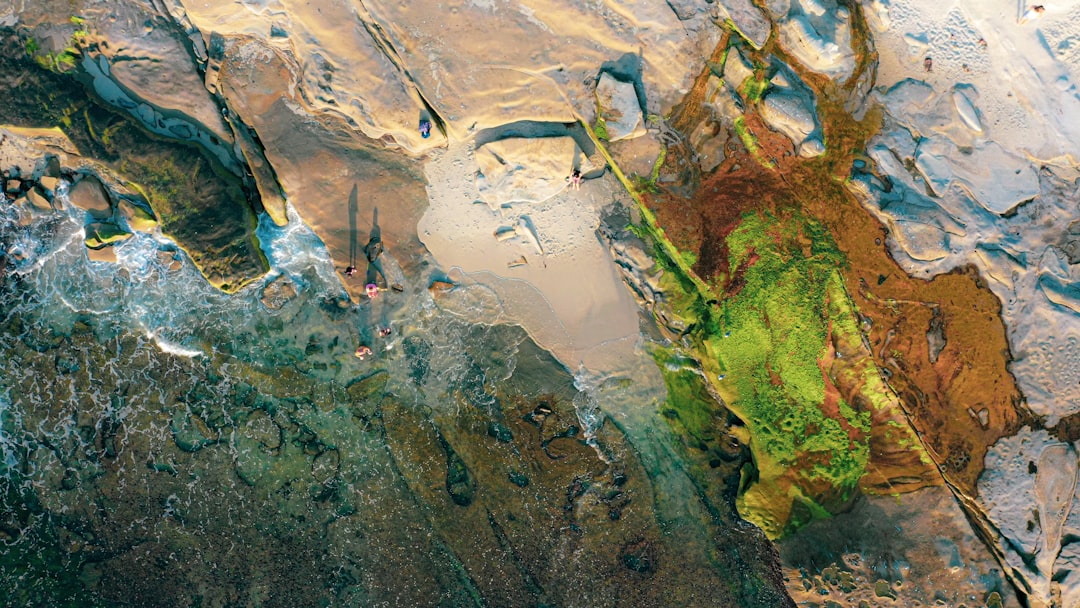
Learn to analyze and interpret satellite imagery and remote sensing data. Develop skills in image processing, classification, and change detection.

What You'll Learn:

  • Principles of electromagnetic radiation and spectral signatures
  • Satellite platforms and sensor technologies
  • Image preprocessing and enhancement techniques
  • Land use/land cover classification methods
  • Applications in environmental monitoring and resource management
View Detailed Curriculum
Advanced Spatial Analysis

Advanced Spatial Analysis

8 Weeks Advanced

Master advanced techniques for analyzing geographic data and solving complex spatial problems. Develop expertise in spatial statistics, modeling, and automation.

What You'll Learn:

  • Advanced geoprocessing workflows
  • Spatial statistics and pattern analysis
  • Network analysis and routing algorithms
  • Terrain analysis and hydrological modeling
  • Python programming for GIS automation
View Detailed Curriculum
Web GIS Development

Web GIS Development

6 Weeks Intermediate

Learn to create interactive web maps and applications. Develop skills in JavaScript, HTML/CSS, and popular mapping libraries.

What You'll Learn:

  • Web mapping fundamentals
  • Working with Leaflet.js and OpenLayers
  • ArcGIS API for JavaScript
  • Implementing geospatial web services
  • Building responsive map interfaces
View Detailed Curriculum
Drone Mapping and Photogrammetry

Drone Mapping and Photogrammetry

5 Weeks Intermediate

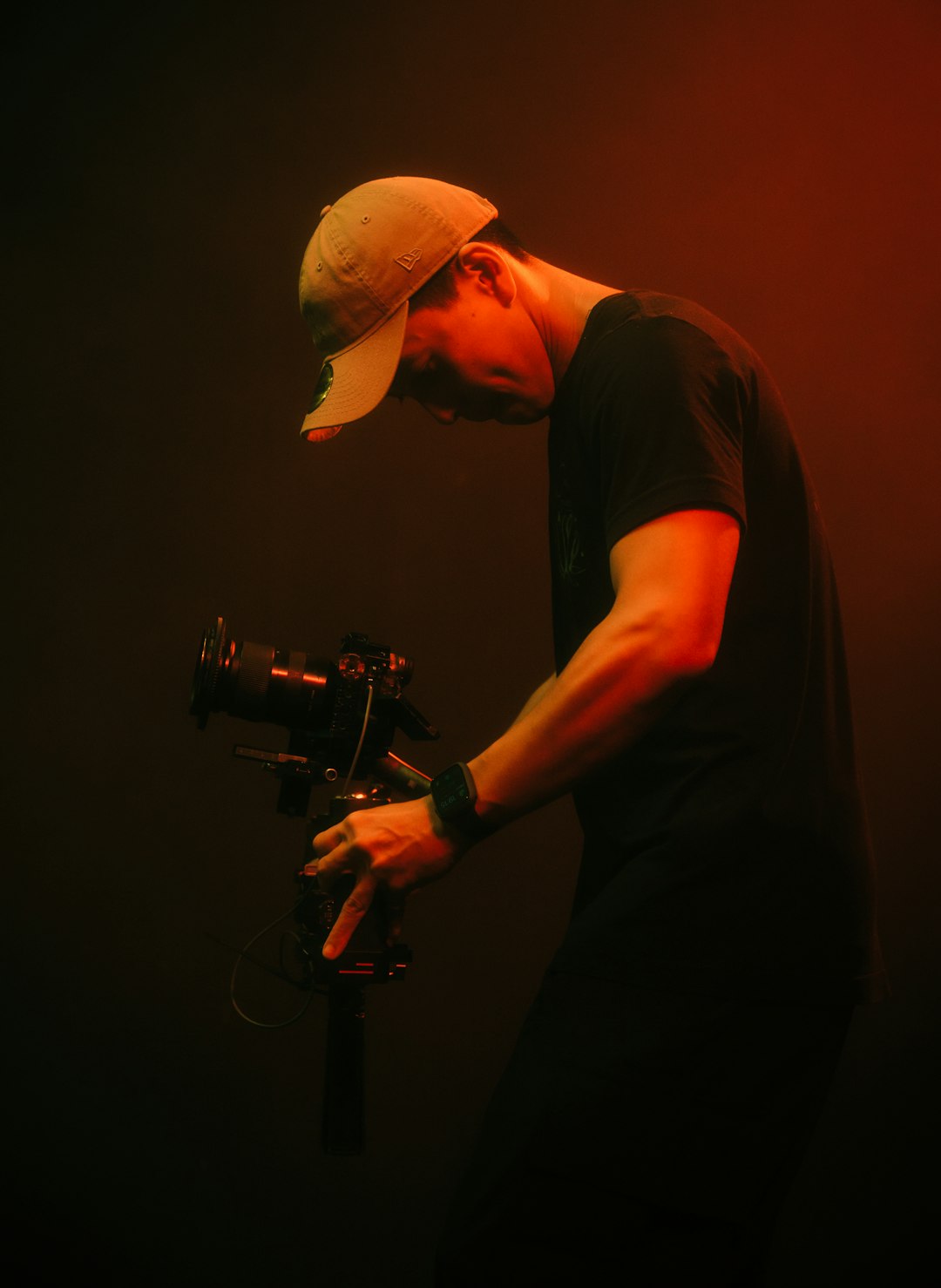
Master the art and science of drone-based mapping. Learn flight planning, data collection, and processing techniques for creating high-resolution maps and 3D models.

What You'll Learn:

  • UAV platforms and sensors
  • Flight planning and data acquisition
  • Structure from Motion (SfM) photogrammetry
  • Point cloud processing and orthomosaic generation
  • Accuracy assessment and quality control
View Detailed Curriculum
GIS for Urban Planning

GIS for Urban Planning

7 Weeks Intermediate

Apply geospatial technologies to urban planning and development. Learn to analyze urban patterns, model scenarios, and support decision-making in city planning.

What You'll Learn:

  • Land use and zoning analysis
  • Transportation network planning
  • Urban growth modeling
  • 3D urban visualization
  • Participatory GIS and community engagement
View Detailed Curriculum
Python for Geospatial Analysis

Python for Geospatial Analysis

2 Weeks Intermediate

Intensive workshop on Python programming for geospatial applications. Learn to automate workflows, analyze spatial data, and build custom tools.

What You'll Learn:

  • Python basics for geospatial analysts
  • Working with GeoPandas and Shapely
  • Raster processing with Rasterio
  • Automating ArcGIS and QGIS workflows
  • Building custom geospatial tools
View Detailed Curriculum
Mobile GIS and Field Data Collection

Mobile GIS and Field Data Collection

1 Week All Levels

Hands-on workshop on mobile data collection for GIS projects. Learn to set up data collection forms, collect field data, and integrate it with your GIS database.

What You'll Learn:

  • Survey123 for ArcGIS
  • QField for QGIS
  • Custom data collection apps
  • GPS accuracy and field protocols
  • Data integration and quality control
View Detailed Curriculum
GIS Portfolio Development

GIS Portfolio Development

3 Days All Levels

Intensive bootcamp focused on creating an impressive GIS portfolio that showcases your skills to potential employers. Work on real-world projects and receive personalized feedback.

What You'll Learn:

  • Identifying your unique GIS skills
  • Planning and executing portfolio projects
  • Creating compelling visualizations
  • Documenting your technical process
  • Presenting your work effectively
View Detailed Curriculum
GIS Professional Certification

GIS Professional Certification Path

Comprehensive preparation for industry-recognized GIS certification exams. Our structured program combines core courses, specialized workshops, and exam preparation materials.

1

GIS Fundamentals

12-week core program

2

Advanced Spatial Analysis

8-week core program

3

Choose Specialization

One 5-7 week specialized course

4

Certification Exam Prep

4-week intensive preparation

5

Certification Exam

Official certification test

View Certification Details
Remote Sensing Specialist Certification

Remote Sensing Specialist Certification Path

Become a certified remote sensing specialist through our structured program that combines theoretical knowledge with practical applications and industry-recognized certification.

1

Remote Sensing Fundamentals

10-week core program

2

Advanced Image Processing

6-week specialized course

3

Remote Sensing Applications

Choose from environmental, urban, or agricultural focus

4

Certification Exam Prep

4-week intensive preparation

5

Certification Exam

Official certification test

View Certification Details

Why Choose Our Programs

Industry-Relevant Curriculum

Our programs are developed in collaboration with industry experts to ensure you learn the most relevant and in-demand skills.

Expert Instructors

Learn from experienced professionals who bring real-world expertise and insights to the classroom.

Hands-On Learning

Our programs emphasize practical, project-based learning that gives you real experience solving geospatial problems.

Comprehensive Resources

Access to cutting-edge software, extensive datasets, and a wealth of learning materials to support your education.

Portfolio Development

Build a professional portfolio of projects that demonstrate your skills and expertise to potential employers.

Flexible Learning Options

Choose from in-person, online, or hybrid learning formats to fit your schedule and learning preferences.

Ready to Start Your Geospatial Journey?

Take the first step toward a rewarding career in geospatial technologies

Ask a Question